Agriculture
November 9, 2023
Updated on November 9, 2023
·Created on November 17, 2019
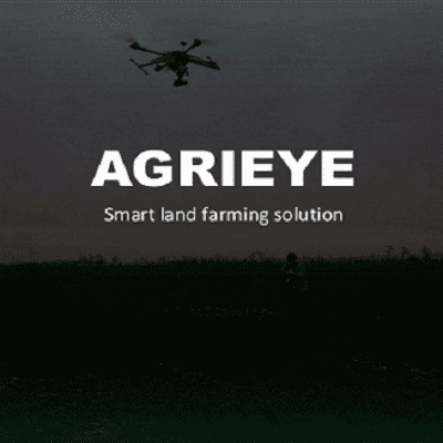
Agrieye is an AI technology for land farming that uses remote sensing and soil analyses.
Agrieye combines technologies of remote sensing and soil analyses to help increase efficiency to land farmers. The multi-spectral 5 band camera is used for precision and accurate measurement for agriculture. The Unmanned Aerial Vehicle (UAV) is used for quick scanning, which monitors up to 2000 hectares per day with a high ground resolution of 5 sm per pixel. The company is developing a platform where members of the public can access maps, data storage and access via a multi layer GIS cloud platform that does not require any specific software for user access.
Market Suggested Retail Price
$400.00
Target Users (Target Impact Group)
Distributors / Implementing Organizations
Agrieye
Manufacturing/Building Method
N/A
Intellectural Property Type
Trademarked
User Provision Model
Unknown
Distributions to Date Status
Unknown
Design Specifications
Unknown
Technical Support
Users can contact the manufacturer at info@agrieye.io
Replacement Components
Unknown
Lifecycle
Unknown
Manufacturer Specified Performance Parameters
This product was designed to be used by small and medium farmers with the goal of reducing the cost of the high tech device and making farming more efficient.
Vetted Performance Status
Research was conducted by Carnfield and G's Growers. Further contract research and consultancy was commissioned by G's to determine key performance indicators for lettuce. It was determined that remote sensing data collected by Agrieye can be used to extract information such as plant counts, sizing, and crop growth and development.
Safety
There are no known safety hazards related to this product
Complementary Technical Systems
Unknown
Academic Research and References
Okayasu, T., Yoshida, H., Nugroho, A. P., Mitsuoka, M. and Inoue, E., 2012, Feasibility Study on Informatization Agricultural Supporting System and Evaluation of Its Validity, Research Gate, pp. 267295397.
Compliance with regulations
Unknown
Other Information
None
Agriculture
November 9, 2023
Agriculture
November 9, 2023
Agriculture
November 9, 2023

Agriculture
November 9, 2023
Implemented by
NRSRelief

Agriculture
November 9, 2023
Agriculture
November 9, 2023
Agriculture
November 9, 2023
Agriculture
November 9, 2023
Agriculture
November 9, 2023
Agriculture
November 9, 2023
Have thoughts on how we can improve?
Give Us Feedback